Farming guides for South Africa
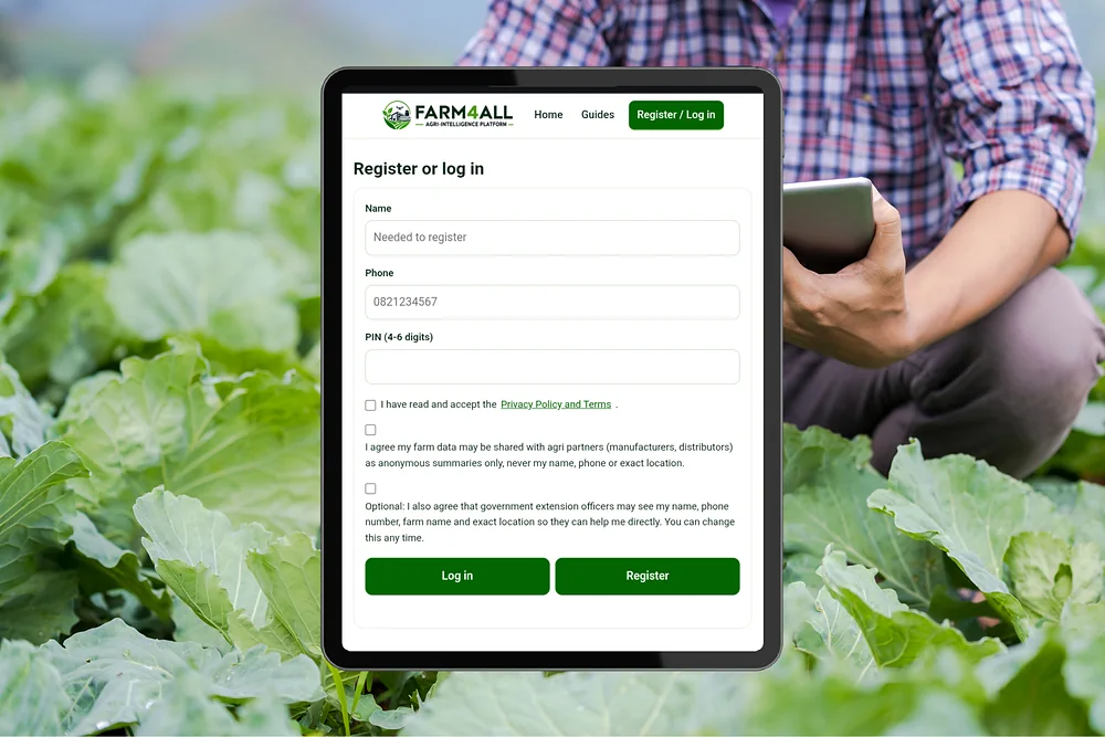
Register or log in
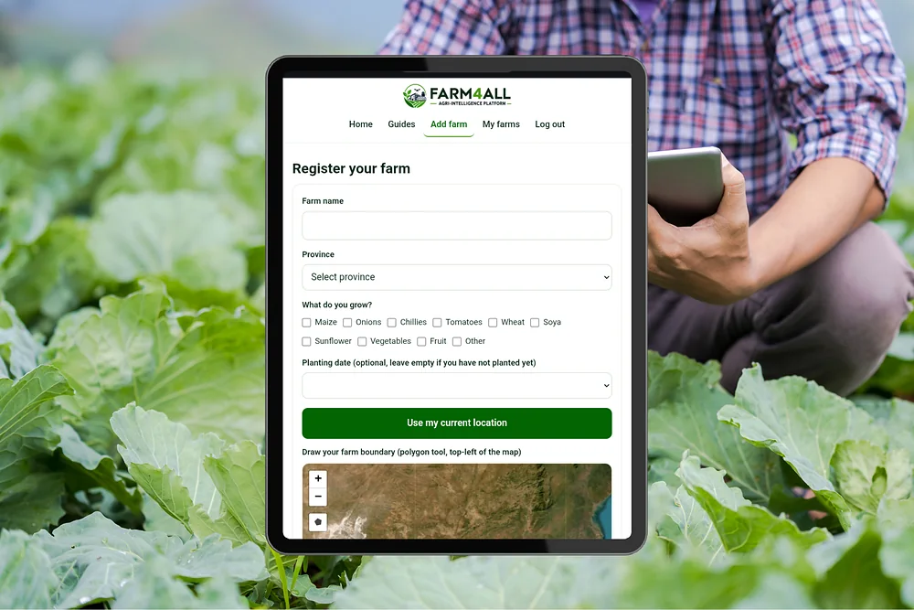
Register your farm
My farms
Admin
Farms in your area
Market insights
Privacy Policy and Terms
Draft for review by a South African legal adviser before launch. Replace the items in [brackets].
Who we are
Farm4All ([registered business name]) runs this platform. Our Information Officer is [name], contactable at [email address].
What we collect and why
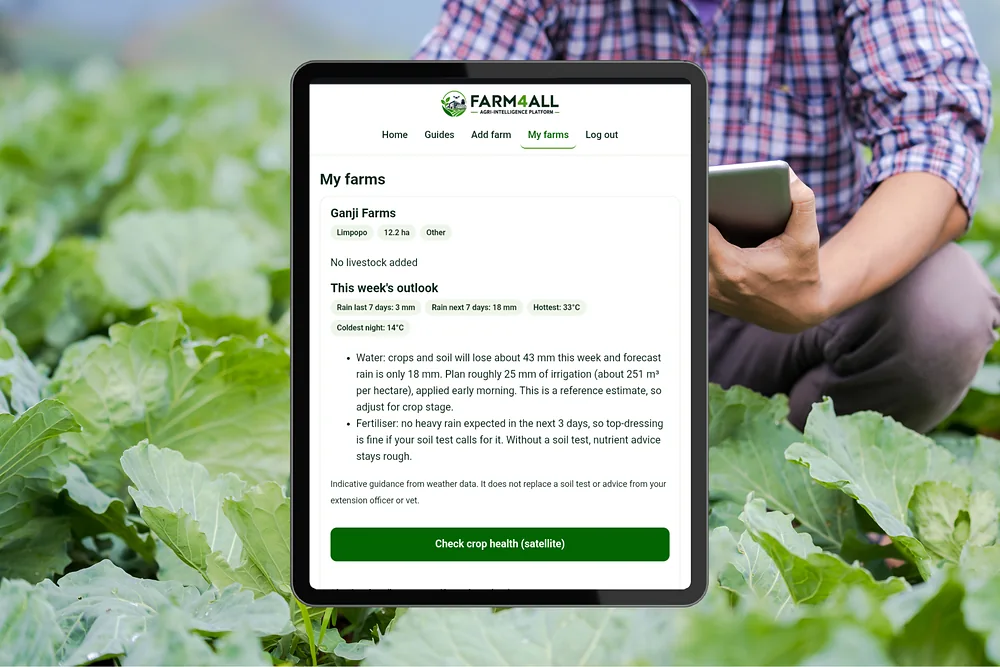
Your name, phone number and PIN (stored as a one-way hash), your farm name, province, GPS pin, drawn boundary, hectares, crops and livestock. We use it to give you farm-specific guidance, such as weather outlooks and satellite crop health, and to help extension officers support farmers.
Who can see your data
Agri partners (manufacturers and distributors) only see anonymous totals, and only if you agreed. Groups of fewer than 3 farms are hidden, and your name, phone and location are never included. Extension officers see your farm details without your identity. They see your name, phone, farm name and exact location only if you opted in, and you can change that any time on My farms. Officers can send you advice, which you will see on your farm card.
Other services we use
Your farm coordinates are sent to Open-Meteo (weather) and to satellite image services (Element 84 Earth Search and a TiTiler server) to produce your outlook and crop health. Map images come from Esri. Data is stored with Cloudflare, which may process it outside South Africa.
Your rights
You can download your data or permanently delete your account and all your farms on the My farms page. You can also ask us to correct your information. If you are unhappy with how we handle it, you may complain to the Information Regulator of South Africa.
Terms
Guidance on this platform is general information based on weather and satellite data. It does not replace a soil test, a vet or advice from an extension officer. Use it at your own risk and confirm important decisions in the field.